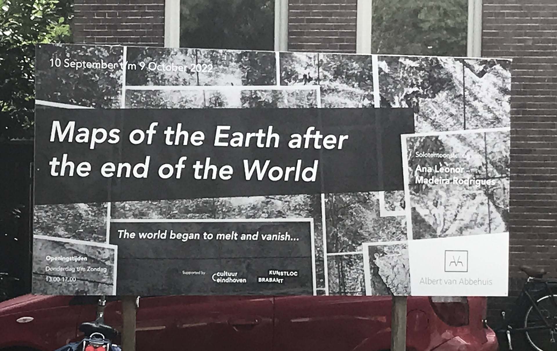
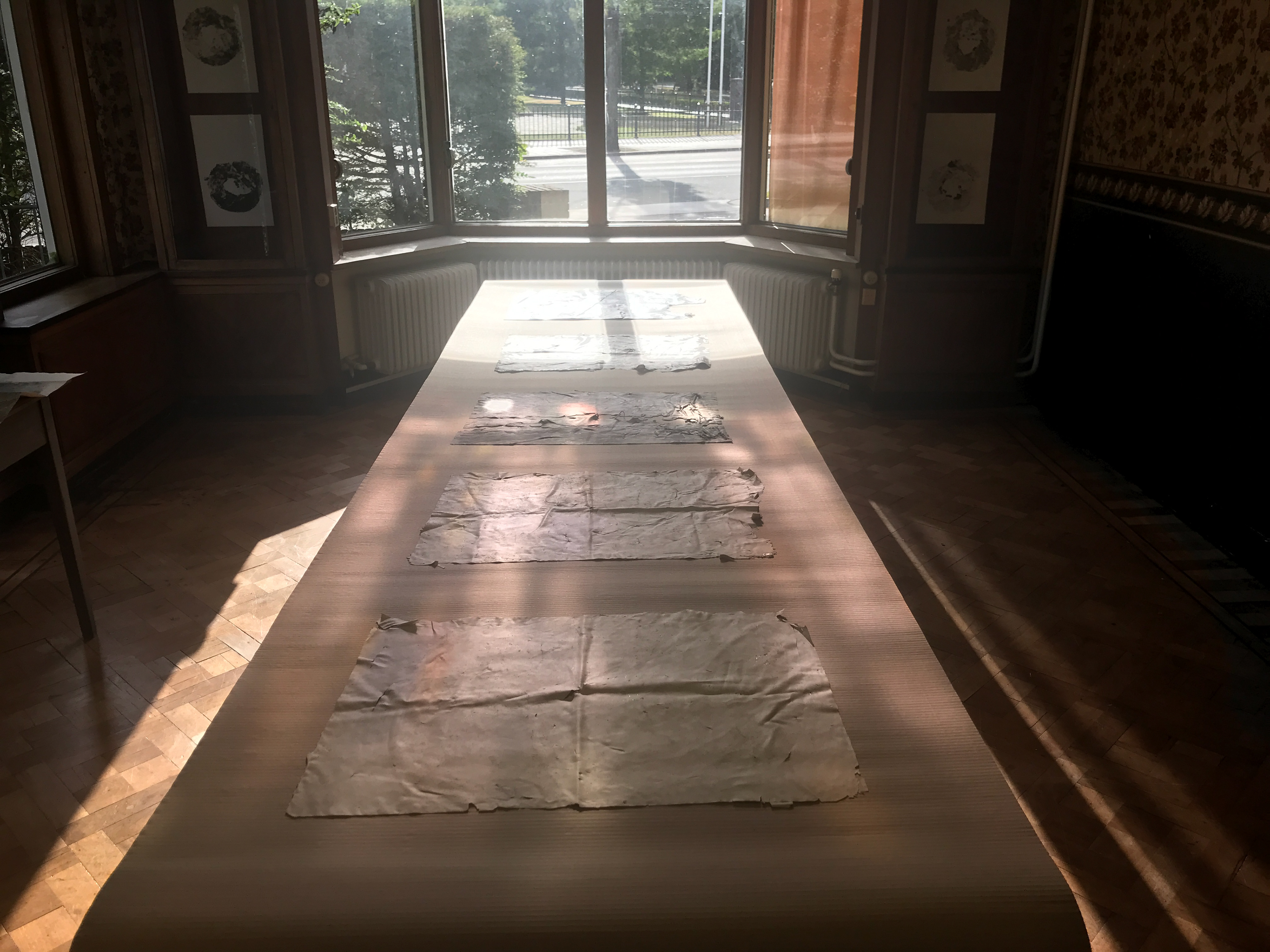
MAPS OF THE EARTH AFTER THE END OF THE WORLD
The design of the charts after the end of the world aims to realize a set of post-apocalyptic atlases.
(After the end of the world, the earth was covered by a film that solidified over large areas and was found to be equivalent to those of previous continents) .
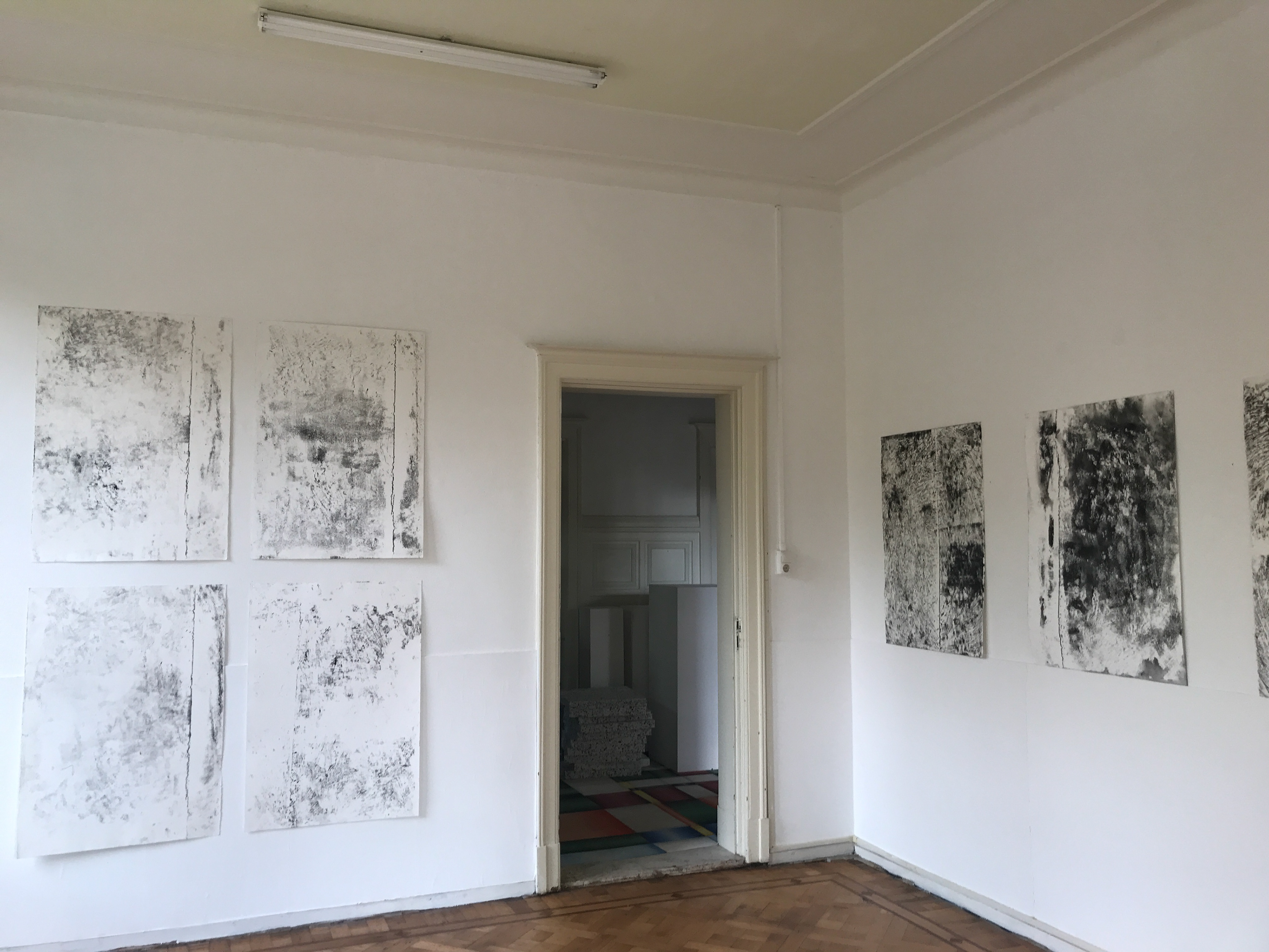
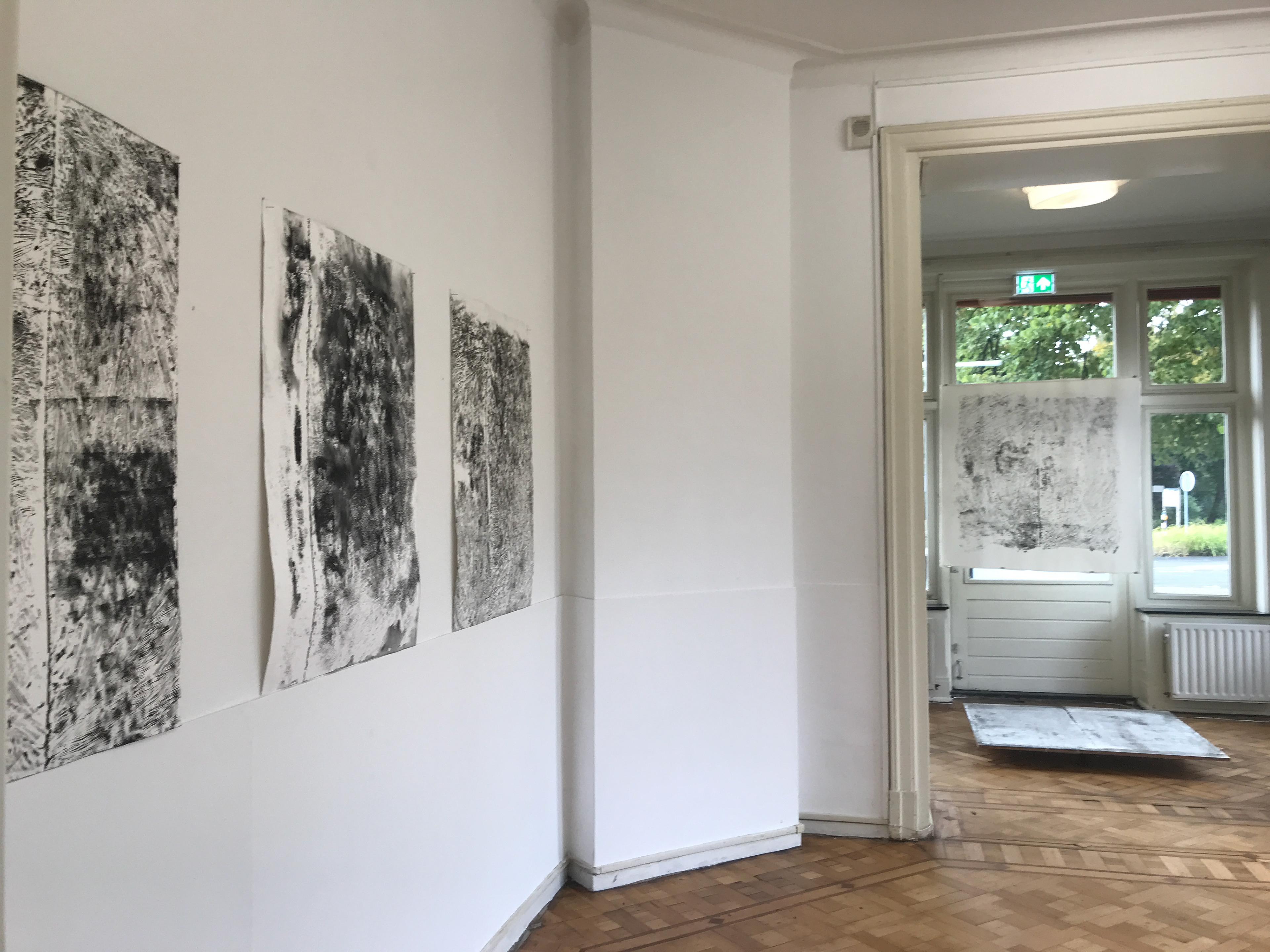
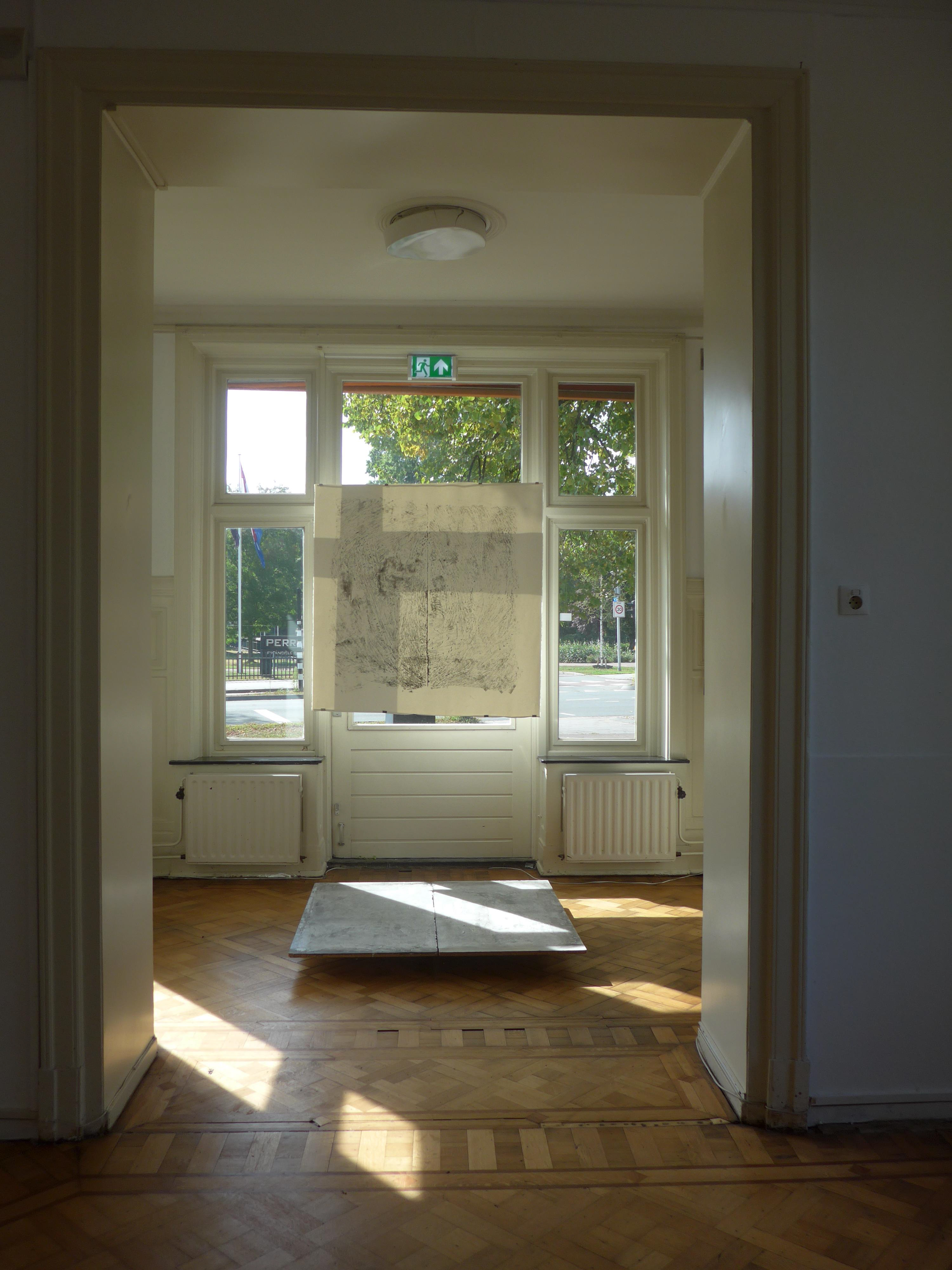
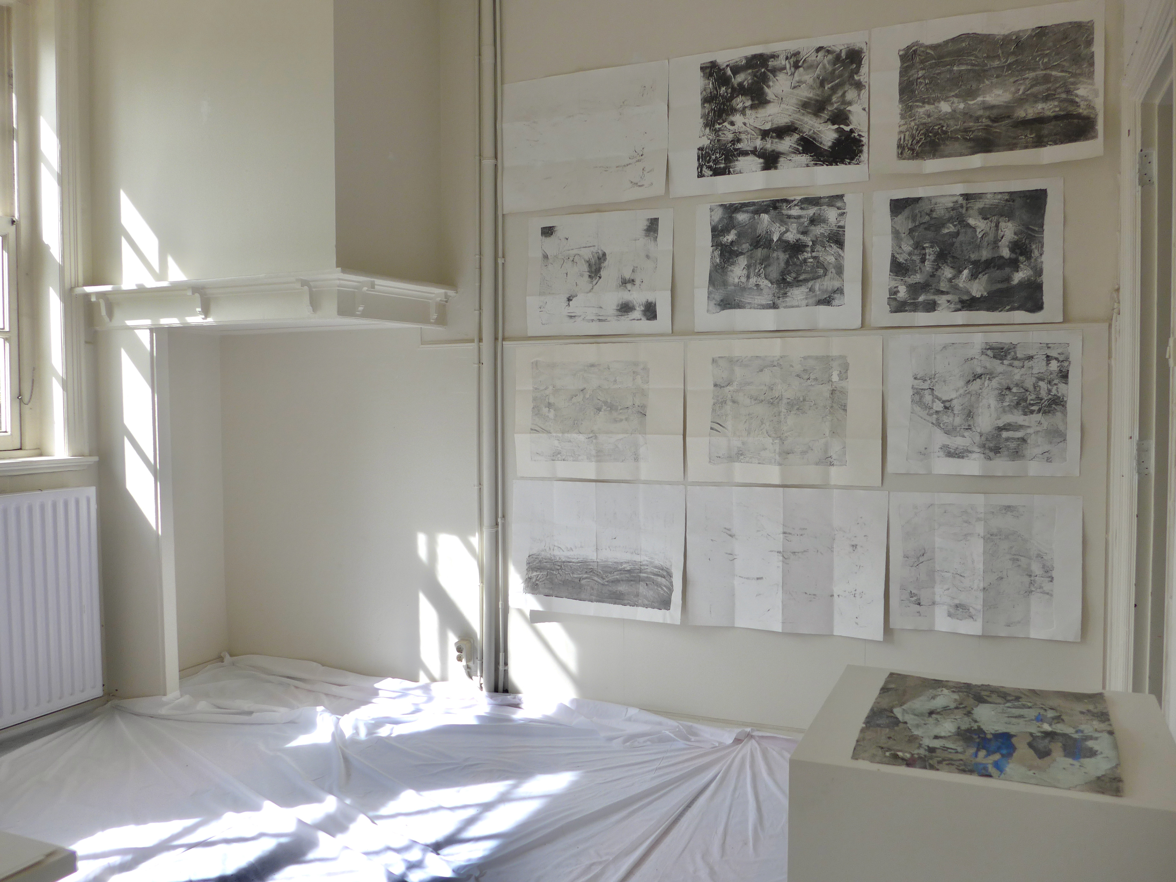
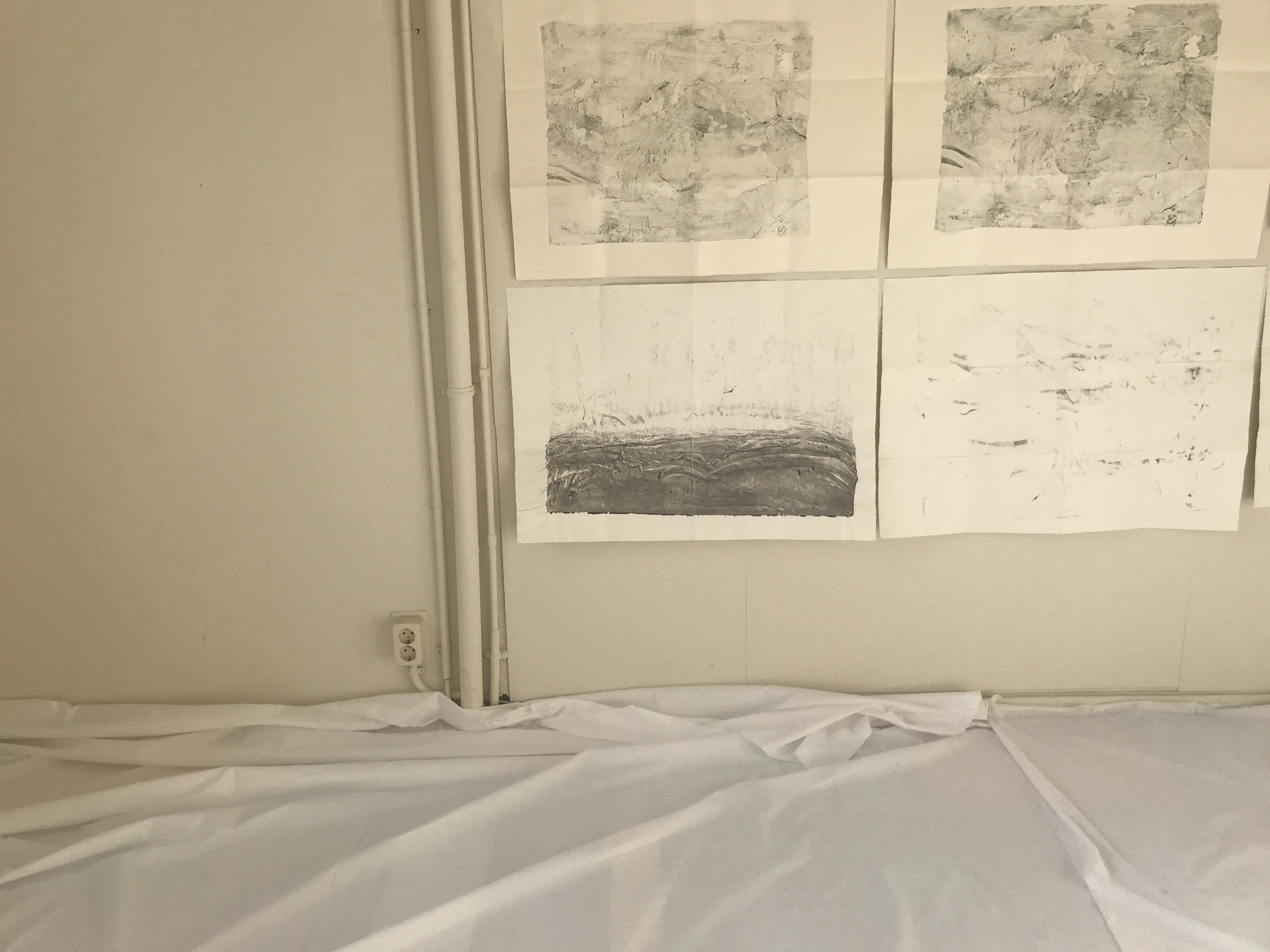
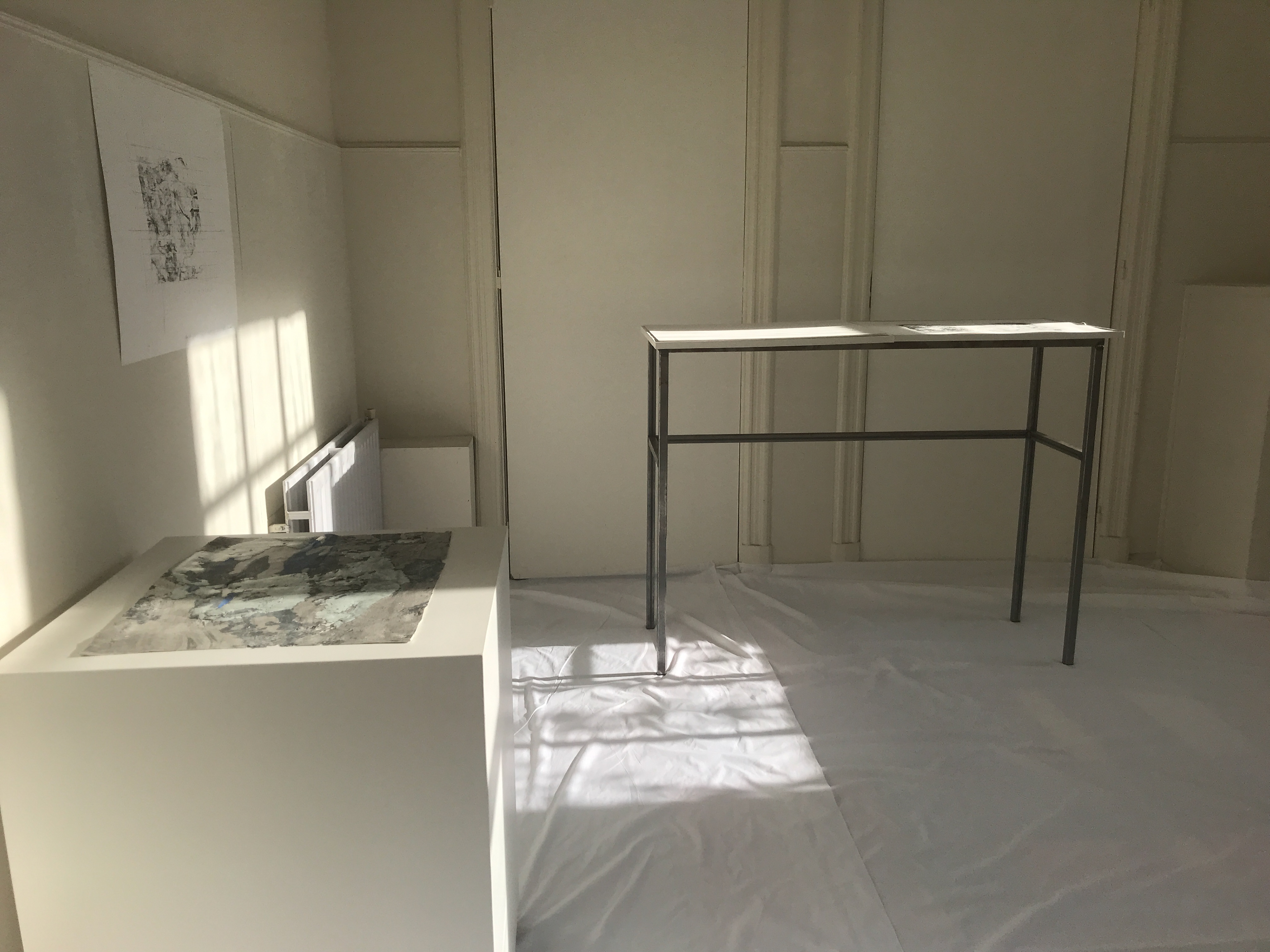
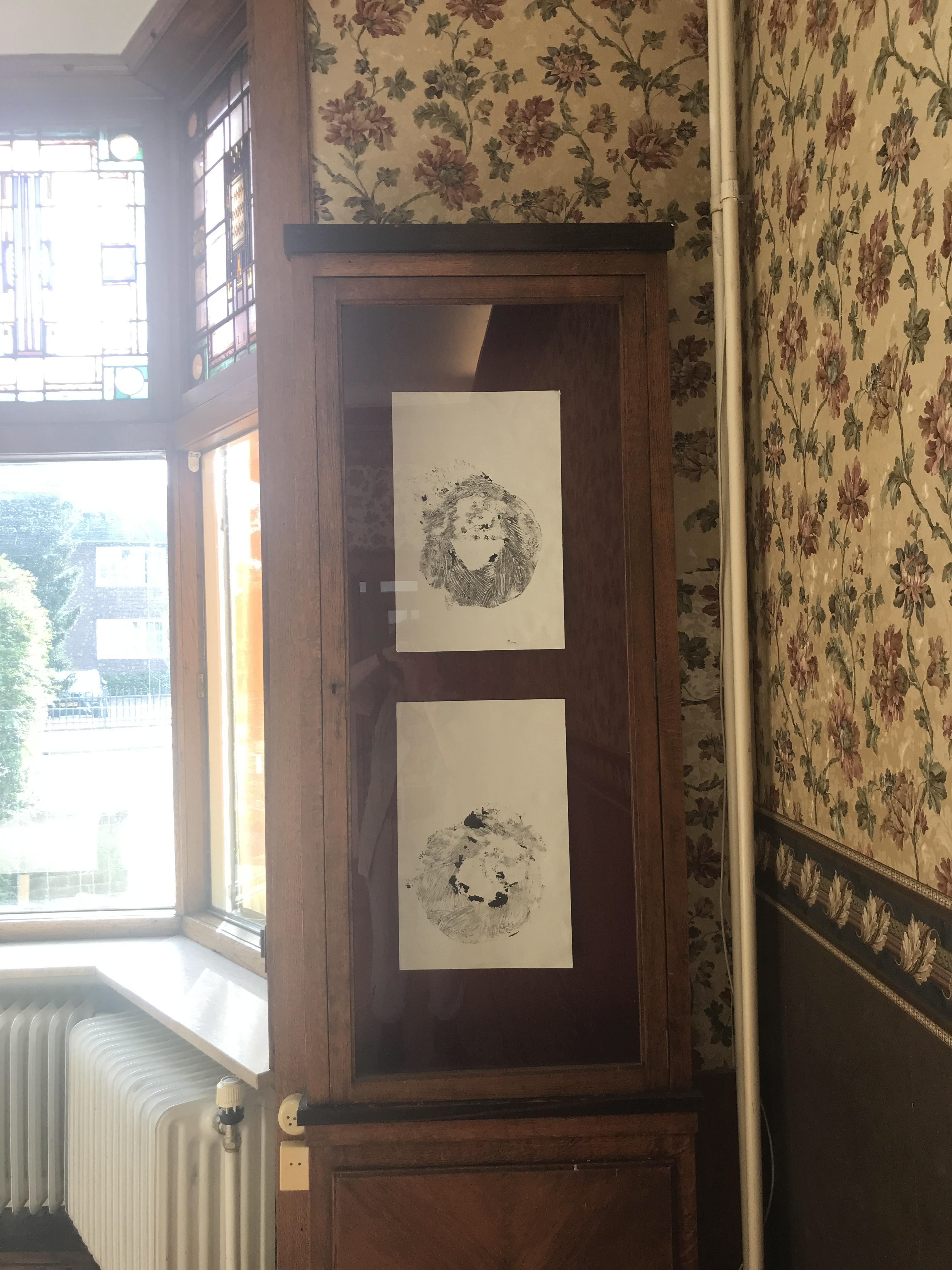
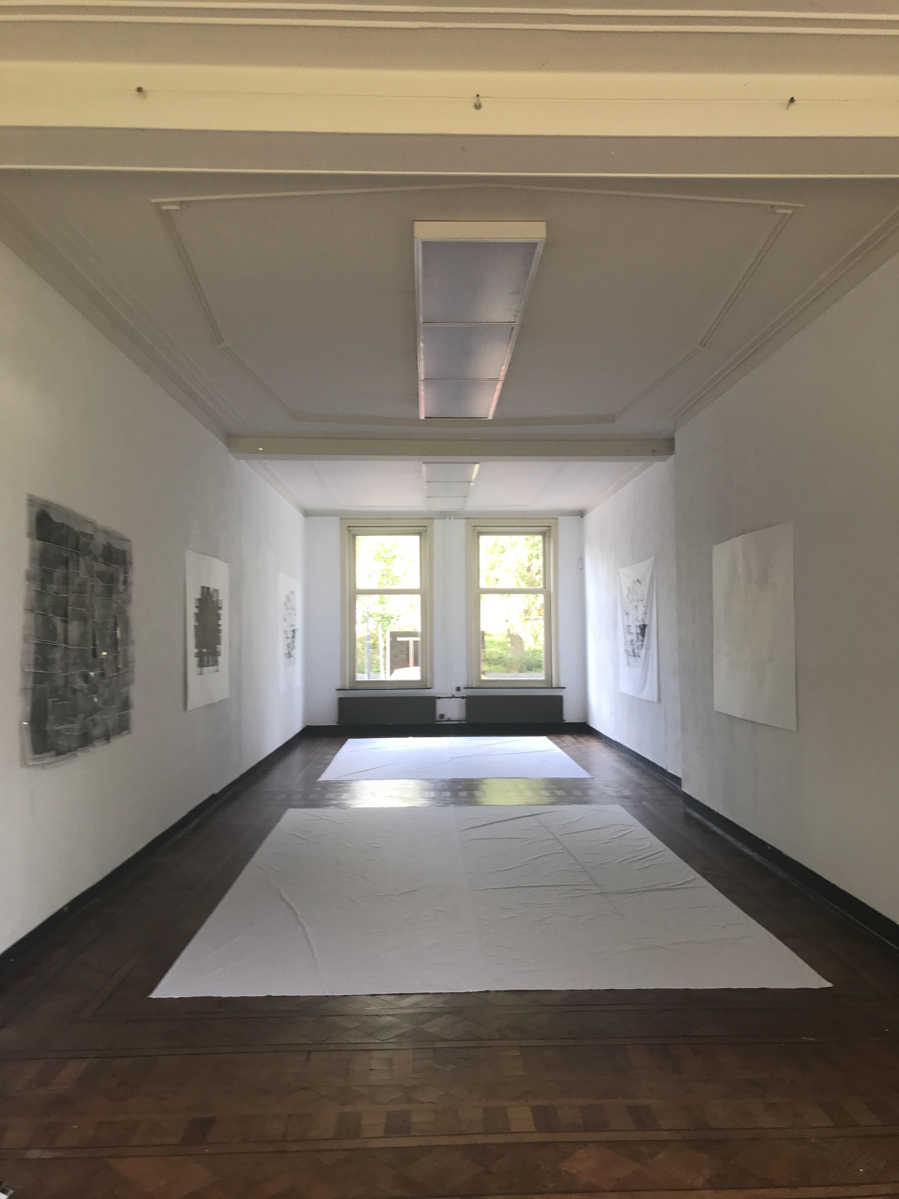
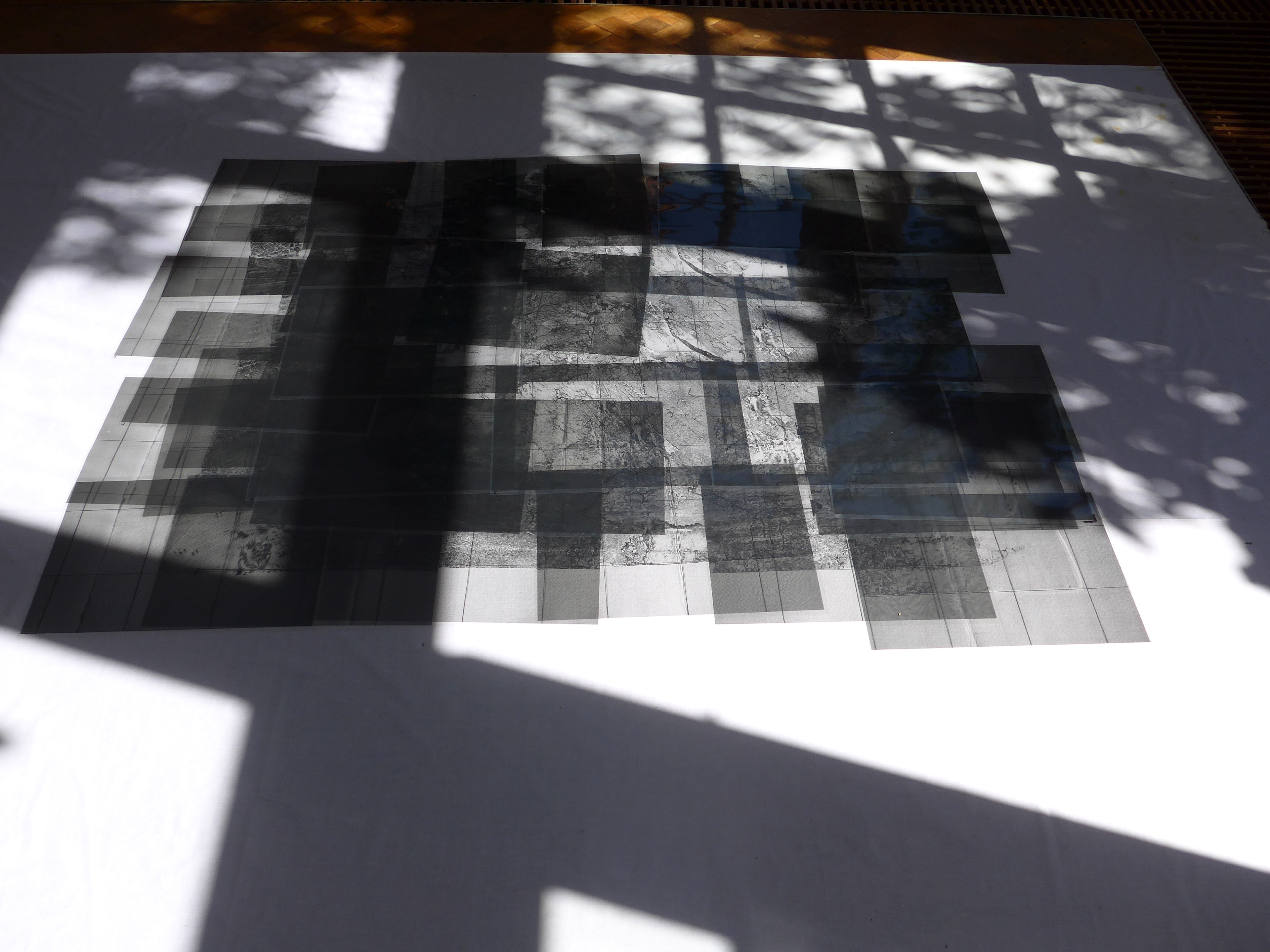
The concept of cartographic systems is present, although it exists outside the maps. The presentation of these records implies the existence of 24 meridians, time zones, five parallels, and other cartographic references. However, the map / cartographic system relationship happens only in the mind of the observer.The exhibition at Albert Van Abbehuis, in Eindhoven, the Netherlands, between October and November 2022. It shows all the work done on the maps made until then and is organized into four rooms where rooms 1 and 2 coincide with maps 1 and 2. Room 3 presents a view of the other maps made until the present moment. Room 4 is an investigation inside map 2.